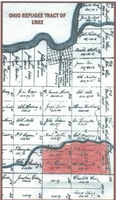
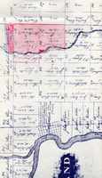
Ohio Refugee Tract of 1802, Bexley area highlighted
Title
Ohio Refugee Tract of 1802, Bexley area highlighted
Description
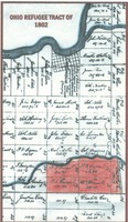
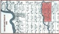
This map, donated by Myers Surveying of Bexley, shows the Ohio area set aside by Congress for settlement by Canadians and Nova Scotians who served in the colonial forces during the American Revolution. The small part which became Bexley is shown in color.
The tract, as surveyed in 1801, stretches from the Scioto River on the west to well beyond Buckeye Lake on the east. In Franklin County, it is bounded on the north by Fifth Avenue and on the south by Refugee Road - a spread of four and one half miles.
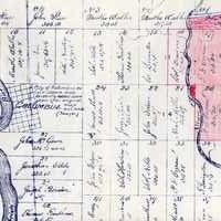
Only 67 veterans of the Revolution filed claims for land which had been divided into numbered one-mile squares and half-mile rectangles. It was parceled out by lots according to each man's entitlement. The map identifies the first owner of each rectangle.
It may be noted that six veterans were the first owners of the land that became Bexley, but that one of them, P. Francis Cazeau, was the principal owner.
